Map of Ireland
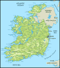
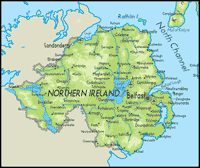
The island of Ireland is divided into four historic regions: Ulster, Connaught, Leinster and Munster. Each region contains multiple counties. The counties of Donegal, Monaghan and Cavan in Ulster belong to the Republic of Ireland. The remainder of Ulster belongs to the UK and is known as Northern Ireland.
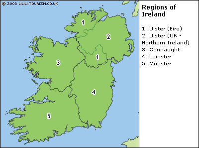
Click on a region for more maps.